









The Best Hidden Hikes Near Winston-Salem
Explore overlooked trails tucked inside some of the area’s most popular outdoor destinations.
Popular outdoor destinations tend to have a headliner: Hanging Rock’s namesake summit trail, Tanglewood’s paved multiuse path, Stone Mountain’s signature loop. But venture beyond the familiar route, and the crowds often thin while the scenery opens up. You may find a quiet riverbank, a wooded passage, or a trail threaded through centuries of history.
This guide uncovers lesser-known hikes in familiar places, beginning in the greater Winston-Salem region before venturing into nearby counties and state parks—all just a short drive away.
Hidden Hikes around Winston-Salem
Reynolda Gardens – Woodland + Perimeter Trails
Approximately 1–1.5 miles • 30–45 minutes • Easy
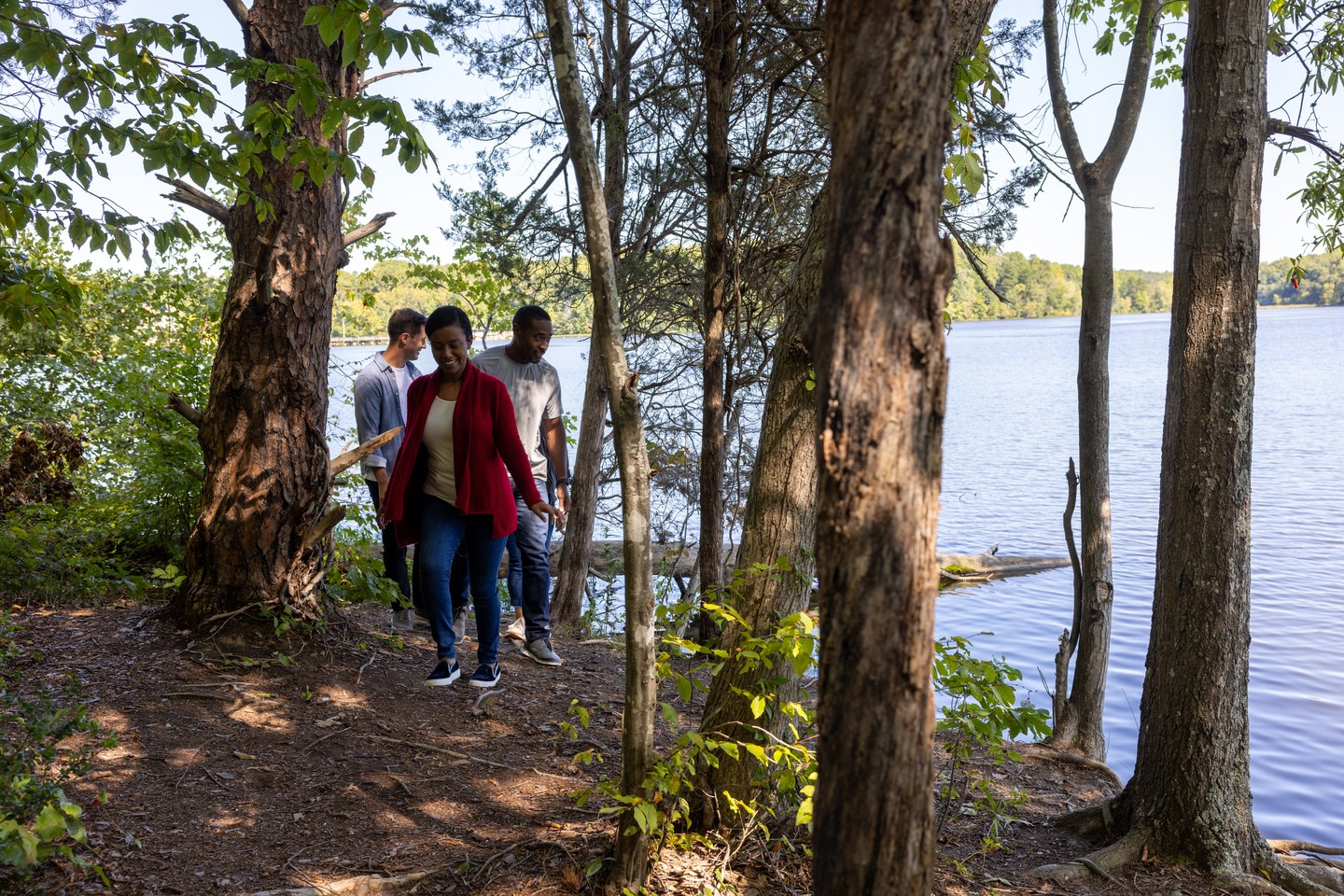
Part of the historic Reynolda Estate, Reynolda Gardens sits just steps from Reynolda House and the shops and restaurants of Reynolda Village. Most walkers gravitate toward the estate’s Formal Gardens and broad meadow. A less obvious route passes through the Lake Katharine wetlands before disappearing into the woods.
From the parking area near the historic Boathouse, walk past the building and join the wooded portion of the Perimeter Trail. The path descends to the remains of the Reynolds family’s outdoor pool—an unexpected piece of estate history tucked beneath the trees—before following a creek toward a small pond. Just beyond the pond, switch onto the Woodland Trail, which loops through mature hardwoods and wetlands back to the Boathouse. Together, the trails create an unofficial loop that feels hidden away, despite never straying far from Reynolda’s busiest spaces.
►Find it: Park in the lower Reynolda Village. Follow the Perimeter Trail past the pool and pond, then look for the Woodland Trail sign and take that route back to where you started.
►Good to know: The woodland paths can remain muddy after rain. Leashed dogs are welcome everywhere except the Formal Gardens.
Tanglewood – Little Walden Trail
1-mile loop • 30 minutes • Easy
Just west of Winston-Salem, Tanglewood Park is a favorite for golf, horseback riding, and outdoor recreation. Most walkers gravitate toward its popular 2.2-mile paved multiuse trail, but Little Walden occupies a quieter corner along the park’s eastern edge near the Softgolf course.
Three interconnected loops weave past a pond, wildflowers, weathered stone remnants, and Town Branch Creek, where kids can wade in the shallows, look for salamanders, and hop among stones. It’s short enough for young ones but packed with enough discoveries to feel like an adventure.
►Find it: Use the park entrance at U.S. 158 and Harper Road, beside Softgolf—not the main entrance. Turn immediately onto Nature Trail Drive and park in the designated visitor lot. (See map.)
►Good to know: Dogs must be leashed, and bug spray helps in warmer months. Pack water shoes and a towel for creek exploration, but avoid wading after heavy rain.
Salem Lake – Jesús Trail
5 miles • 2–2½ hours • Moderate
The 365-acre Salem Lake is best known for its wide, roughly seven-mile gravel loop along the shoreline.
The Jesús Trail veers from that familiar route onto narrow singletrack across the lake’s quieter south side. Built by mountain bikers but open to hikers, it twists through the woods over roots and rocks, across short bridges, and up punchy climbs. Several connections to the main loop make it easy to sample a shorter section.
►Find it: Park at Salem Lake’s alternate lot at 226 Linville Road SE (map) and turn left onto the main lake trail to reach the singletrack.
►Good to know: Stay alert for approaching cyclists and avoid the trail after heavy rain, when the singletrack can become muddy.
Trails at Historic Bethania – Reuter Survey Trail
2.2-mile loop • 1 hour • Easy to moderate
Bethania makes a natural sequel to Bethabara: The two Moravian towns sit about 2.5 miles—or a seven-minute drive—apart. Bethabara was established in 1753; Bethania followed six years later. Far quieter than Bethabara or Old Salem, its preserved landscape holds several easy hikes. Most first-time visitors begin with the 1.4-mile Black Walnut Bottoms Trail beside the Visitor Center.
The less obvious Reuter Survey Trail is the hidden gem, climbing Bethania Knoll before dropping through pines and old fields toward Muddy Creek. It is named for Christian Reuter, the Moravian surveyor who laid out the town.
►Find it: Use the Reuter trailhead off Bethania–Rural Hall Road (map). The entrance is easy to miss.
►Good to know: The route requires a roadside crossing and includes several short climbs, making it feel slightly more rugged than Black Walnut Bottoms.
Hikes Outside the City
Hanging Rock State Park – Cook’s Wall Trail via House Rock
4.4-mile round trip • 2.5 hours • Moderate • 40 min drive from downtown
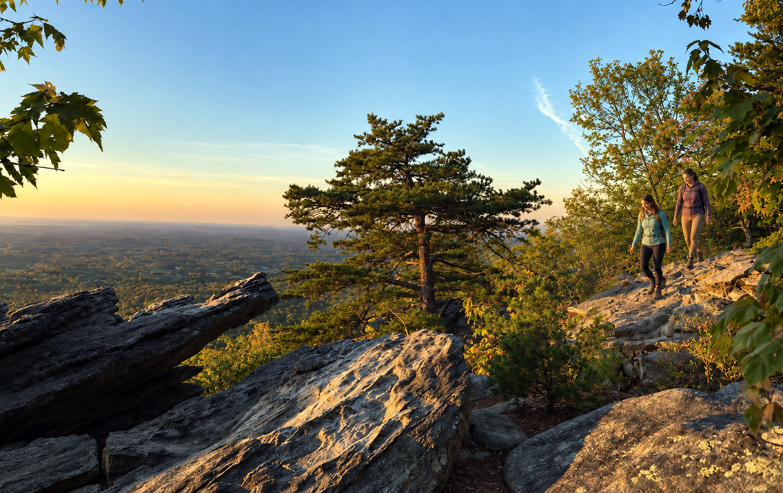
Hanging Rock Trail and Moore’s Wall Loop dominate most park itineraries. Cook’s Wall heads the other way from the lake, following a wooded ridge through mountain laurel and rhododendron.
At 1.4 miles, House Rock forms a natural stone shelter resembling a small room and makes a rewarding destination on its own. Continue to Cook’s Wall for a longer walk and broader views toward Pilot Mountain and the western Sauratowns. The trail delivers the rocky drama people expect from Hanging Rock, with a fraction of the namesake trail’s traffic.
►Find: Park at the lake bathhouse and take the trail beginning behind the building.
►Tip: House Rock is a good turnaround for a shorter 2.8-mile hike. Expect uneven rock and steps.
Pilot Mountain State Park – Bean Shoals Canal Trails
3.5-mile loop or 5-mile out-and-back • 1½–2½ hours • 30 min from downtown
The Pilot Knob Trail gets most of the glory at this popular state park, and for good reason. But many visitors don’t realize the park extends all the way to the Yadkin River. Horne Creek Trail follows its namesake stream through a shaded floodplain before reaching the river, trading summit views for sycamores, river birches, and wildlife.
Near the river, it meets the Bean Shoals Canal Trail, a short path passing remnants of an unfinished 1820s canal project. Together, the adjoining trails reveal a completely different side of Pilot Mountain—steeped in river history rather than long-range views.
►Find it: Navigate to Bean Shoals Access, not the mountain entrance. Horne Creek Trail begins at the picnic area between the second and third bridges on the park road.
►Good to know: Trails can be muddy after heavy rain. Bean Shoals includes an active railroad crossing.
Yadkin Valley (Elkin Area) – Carter Falls Trail
1-mile round trip or 4 miles from the vineyard • 30 minutes–2 hours • Moderate • 45 min from downtown
Most Yadkin Valley visitors come for the wine, but one of the region’s best walks leads to a multi-tiered cascade on Big Elkin Creek. Open to the public only since 2018, Carter Falls still feels like a discovery. The short route descends half a mile through mature forest to the falls.
For a roughly 4-mile round trip, begin at Grassy Creek Vineyard and follow the trail past pine forests, pastures, a pond, and creek-bottom woods. The route joins the Mountains-to-Sea Trail near Byrd’s Branch Campground before reaching the Pleasant Ridge trailhead, where it connects with the same half-mile Carter Falls Trail used by the shorter route.
►Find it: Park at 921 Pleasant Ridge Road for the one-mile round trip (map).
►Good to know: Rocks near the falls can be exceptionally slippery when wet. If starting at Grassy Creek, confirm tasting-room hours—and save the wine for the return.
Stone Mountain State Park – Wolf Rock + Cedar Rock Trails
3.5–4.5 miles • 2–3 hours • Moderate • 1-hour drive from downtown
Stone Mountain’s signature loop gets all the attention here, and for good reason, as it features a towering waterfall, historic homestead, and summit views. But for a quieter route with an equally strong payoff, link Wolf Rock and Cedar Rock from the Lower Trailhead.
The climb to Wolf Rock emerges onto a broad granite outcrop with open Blue Ridge views; nearby Cedar Rock supplies one of the park’s best head-on looks at Stone Mountain’s immense granite dome. Because the trails connect naturally, there is little reason to choose between them.
►Find it: Start at the Lower Trailhead to connect Wolf and Cedar Rock.
►Good to know: After your hike, consider the 0.2-mile walk to Widow’s Creek Falls, an overlooked but incredibly scenic waterfall within the park.




 Share
Share