


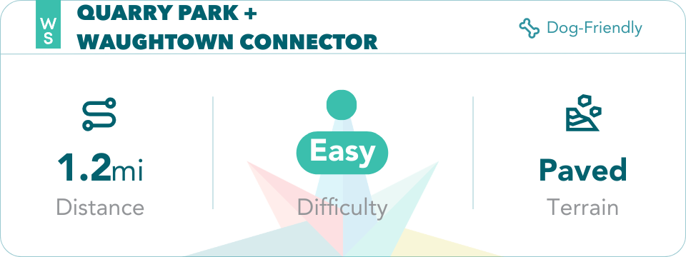
Explore Winston-Salem's connected greenway and trail system!
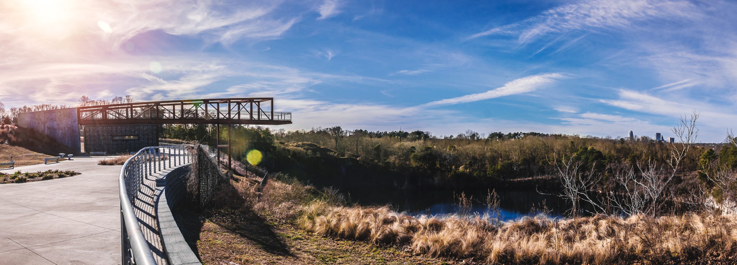
The Quarry at Grant Park offers a unique view of Winston-Salem, whether you're admiring the skyline from the scenic platform ("The Boom") or exploring the trail system around the park. Did you know that these trails include the Waughtown Connector, which allows trail-goers to connect to the Salem Creek Greenway and the downtown Winston-Salem urban greenway system?
Start your trail adventure here with our step-by-step guide.
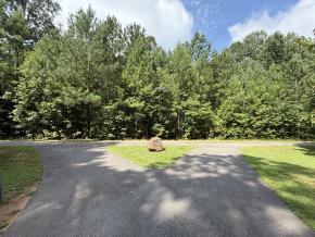
Trailhead
Starting in the main parking area, head to the fenceline around the quarry lake and turn right on the paved pathway- walking away from the boom.

Overlook C
Almost immediately after starting out on the trail in this direction you will come across an overlook (labeled Overlook C on some mapping tools) with a bench and a view of the boom.

Butterfly Garden
Follow the sloping paved pathway downhill and at 0.2 miles, you will reach the butterfly sculpture garden on your right. Stop to appreciate the garden, grab a selfie, and keep going on your way! Just after the butterfly sculpture, you’ll see an overlook on your left (labeled Overlook B on some mapping tools).

Overlook B
After passing the butterfly sculpture, you’ll see an overlook on your left (labeled Overlook B on some mapping tools). Just before a bike rack, you’ll see an access trail on the left that takes you to the water (overlook A on some mapping tools). Please exercise caution in this area and do not approach or attempt to access the water.

Overlook A
At about 0.4 miles, you will reach the bike rack and footbridge that marks where the Waughtown Connector leaves the park on the way to the Peachtree Greenway.

Peachtree Greenway
As you continue on your walk, you’ll reach the Peachtree Greenway. At this junction, there will be no signage. Turn right here. Eventually, you’ll see the Reynold’s Park Golf Course on your right.
Peachtree Street Connection
The trail will apear to end at a street, but don't stop here! You’ve reach Peachtree Street. Turn right and follow the sidewalk to the cross walk just ahead and cross the street. Keep walking and you’ll reenter the Peachtree Greenway. There will be a large electrical tower and signage indicating you are close to the Salem Creek Greenway.

Salem Creek Greenway Connection
After passing a Duke Energy substation on your right, you’ll reach the intersection with the Salem Creek Greenway at 1.2 miles (marked with a sign). Turn right to head toward Salem Lake and continue your journey- from here it's a straight shot to the Salem Lake Trail!
